Controlling Axes
Changing Axis Units
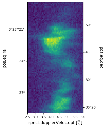
WCSAxes also allows users to change the units of the axes of an image. In the example in Slicing Multidimensional Data, the x axis represents velocity in m/s. We can change the unit to an equivalent one by:
import astropy.units as u
ax.coords[2].set_major_formatter('x.x') # Otherwise values round to the nearest whole number
ax.coords[2].set_format_unit(u.km / u.s)

Disabling Automatic Labelling
By default WCSAxes adds labels to the axes to indicate what world coordinate is
being represented on that axis, and what unit is being used to display it. If
you want to disable this behavior you can either set an explicit label for that
axis with set_axislabel or you
can disable the feature per coordinate with:
ax = plt.subplot(projection=wcs)  # doctest: +SKIP
ax.coords[0].set_auto_axislabel(False)  # doctest: +SKIP
Changing Axis Directions
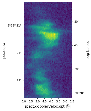
Sometimes astronomy FITS files don’t follow the convention of having the longitude increase to the left, so we want to flip an axis so that it goes in the opposite direction. To do this on our example image:
ax.invert_xaxis()
