van der Grinten Projection
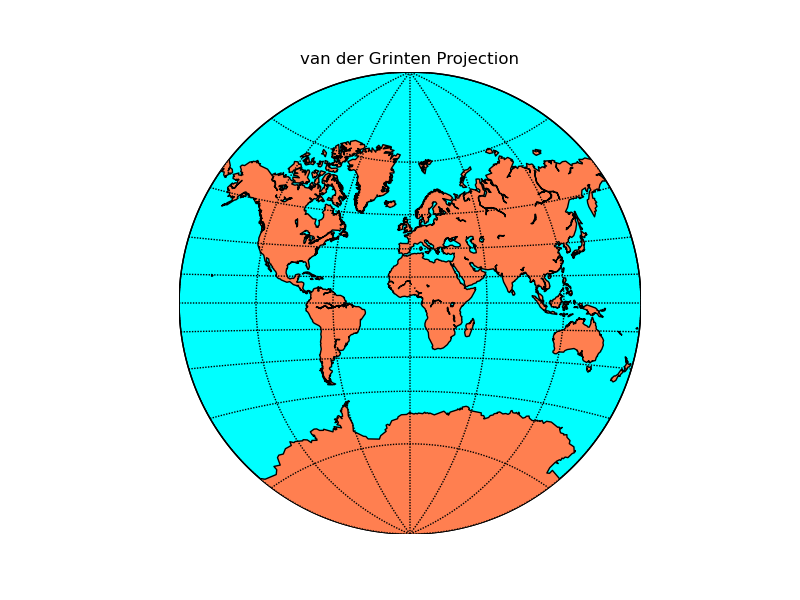
A global projection once used by the National Geographic Society for world maps. Neither equal area or conformal, shows the world in a circle centered on the equator.
from mpl_toolkits.basemap import Basemap
import numpy as np
import matplotlib.pyplot as plt
# lon_0 is central longitude of projection.
# resolution = 'c' means use crude resolution coastlines.
m = Basemap(projection='vandg',lon_0=0,resolution='c')
m.drawcoastlines()
m.fillcontinents(color='coral',lake_color='aqua')
# draw parallels and meridians.
m.drawparallels(np.arange(-80.,81.,20.))
m.drawmeridians(np.arange(0.,360.,60.))
m.drawmapboundary(fill_color='aqua')
plt.title("van der Grinten Projection")
plt.show()