Cassini Projection
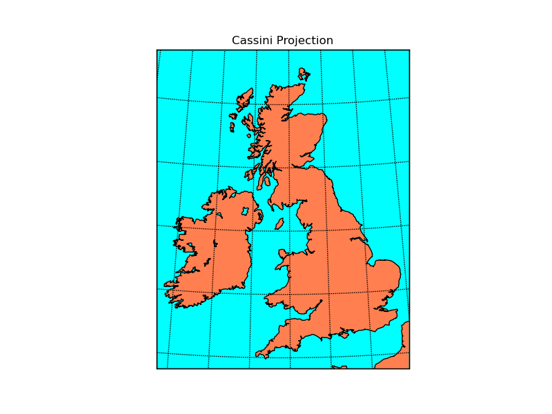
The transverse aspect of the equidistant cassindrical projection. The globe is first rotated so the central meridian becomes the “equator”, and then the normal equidistant cylindrical projection is applied.
from mpl_toolkits.basemap import Basemap
import numpy as np
import matplotlib.pyplot as plt
# llcrnrlat,llcrnrlon,urcrnrlat,urcrnrlon
# are the lat/lon values of the lower left and upper right corners
# of the map.
# resolution = 'i' means use intermediate resolution coastlines.
# lon_0, lat_0 are the central longitude and latitude of the projection.
m = Basemap(llcrnrlon=-10.5,llcrnrlat=49.5,urcrnrlon=3.5,urcrnrlat=59.5,
            resolution='i',projection='cass',lon_0=-4.36,lat_0=54.7)
# can get the identical map this way (by specifying width and
# height instead of lat/lon corners)
#m = Basemap(width=891185,height=1115557,\
#            resolution='i',projection='cass',lon_0=-4.36,lat_0=54.7)
m.drawcoastlines()
m.fillcontinents(color='coral',lake_color='aqua')
# draw parallels and meridians.
m.drawparallels(np.arange(-40,61.,2.))
m.drawmeridians(np.arange(-20.,21.,2.))
m.drawmapboundary(fill_color='aqua')
plt.title("Cassini Projection")
plt.show()